
 Español
 Français

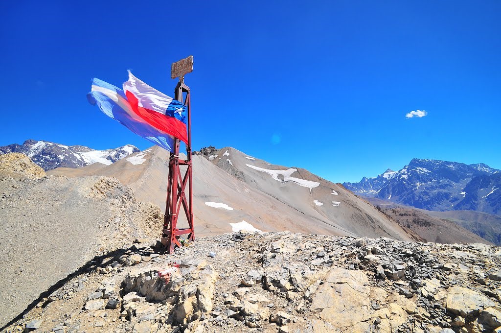
The border between Chile and Argentina has been a headache for geographers and diplomats. Named by ancient geographers “Tierra Magallanica, de los Patagones y los Cesares”, the Magellanic Lands, of the Patagonian’s and of the Caesars.
From the day after the independence of these two nations (respectively in 1818 and 1816) and throughout the 19th century, there was nothing but tension, threats, and risks of military intervention. The signing of a treaty in 1881 offered a fragile compromise that was more or less satisfactory for both countries. The Andes mountain range served as a natural border for nearly 3,500 km, but neither Chile nor Argentina obtained the desired access to the two oceans. A line was drawn with great sabre strokes, without worrying about the details. And on the scale of America, a detail is equivalent to immense territories, as large as departments in Europe.
“To Chile the Pacific, to Argentina the Atlantic”, roughly, it was thus decided. And between the two, at the extreme tip of South America, what Coloane calls “the tail of the continent”, a territorial division that cuts Tierra del Fuego into two juxtaposed pieces. Several geographical and diplomatic errors were made in this long and laborious division of South American lands, and in the drawing of the borders, which inspired Don José Miguel Yrrazaval to write a very critical book, published in 1930.
Forty kilometers further south of Futaleufú, the Palena region was still disputed in 1965 by the Chileans and the Argentines, under the arbitration of Great Britain. At the time of the Pinochet dictatorship, the two countries were on a war footing. It was necessary to appeal to Pope Jean-Paul II who served as a “symbolic” mediator between Santiago and Buenos Aires. In Chile, the smallest history of borders represents a book of at least a hundred pages!
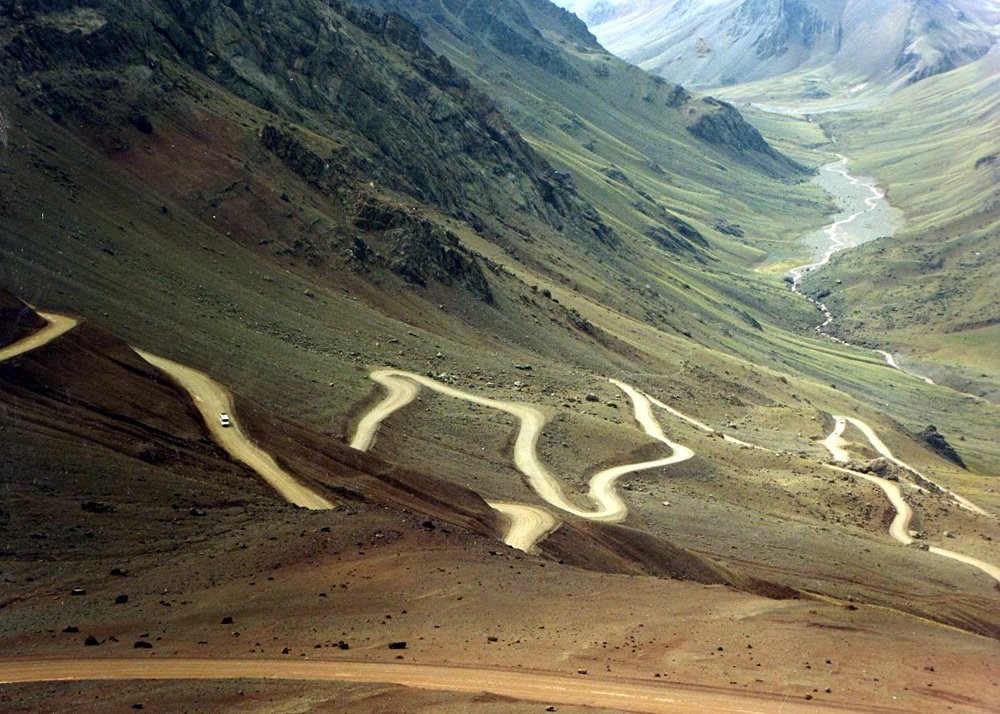
Nowadays, crossing from one country to another takes time and can often be tedious. All along the Andes, there are multiple crossing points. There are of course all the important posts based on the main roads, but above all there are all the very picturesque little customs posts, lost at the top of a pass, at the end of a track, as if they came out of nowhere.

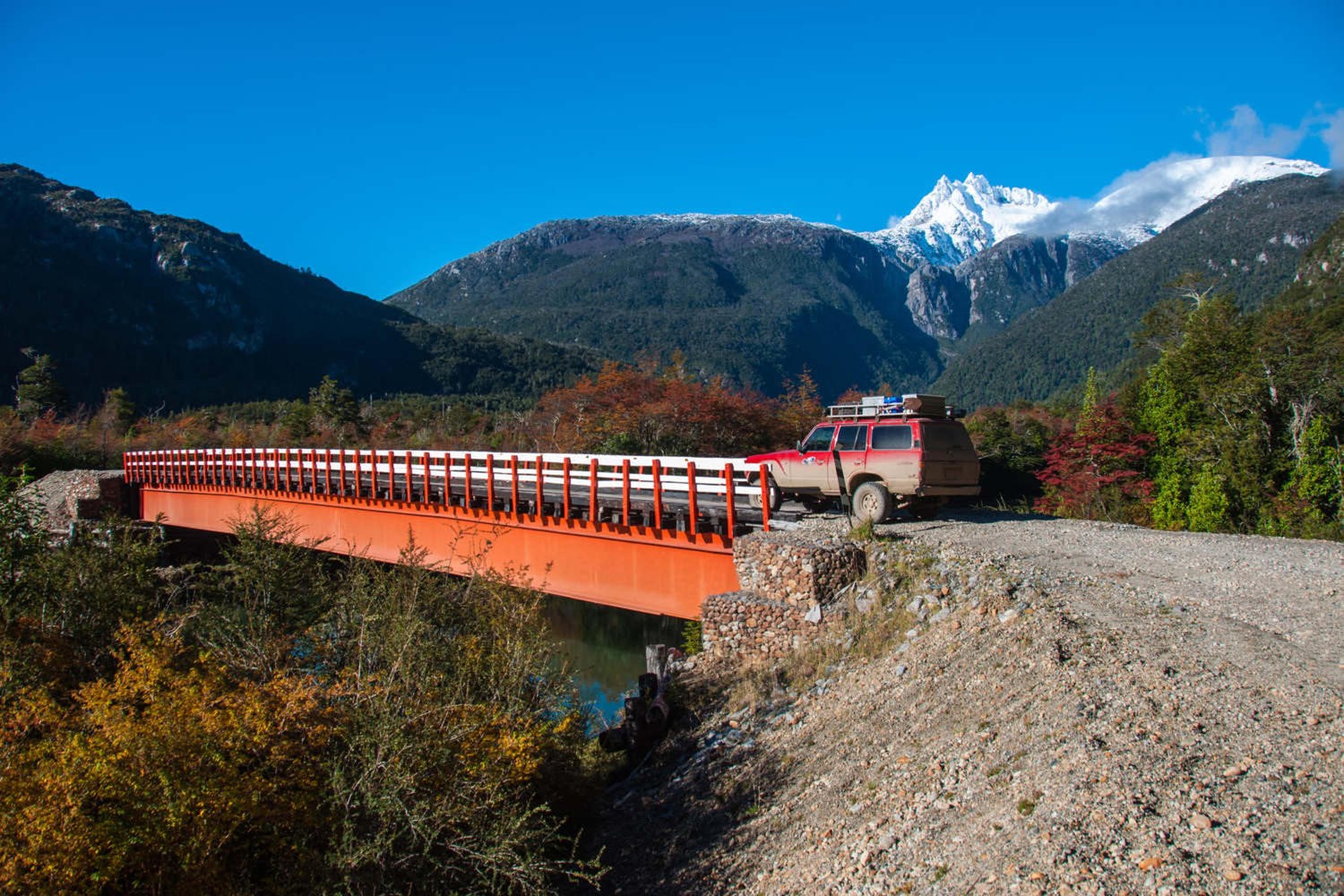
On the Chilean side, General Pinochet’s great challenge was to build the Carretera Austral (“the southern road”), a stony road that zigzags through Chilean Patagonia for nearly 1,200 km from north to south, allowing it to travel like a migratory bird to the end of the world, without having to go through Argentina. These colossal works cost the lives of many workers (just look at a map of Chilean Patagonia and all its fjords).
On the road map of Patagonia, the town of Villa O’Higgins is represented by a small dot placed on the banks of a lake, at the end of a line as thin as a thread, an interminable dotted line representing the Carretera Austral. It’s clear, the road doesn’t go any further. To the east, the Chilean lands border the Argentine border. To the south, Lake Villa O’Higgins ends at the foot of an immense white glacial mass, with blue reflections: the “Campo de Hielo Sur”. These are not a few ice cubes that we put in a glass at aperitif time, but a real frozen territory, as large as three French departments. Another world, cold and inhospitable, about 300 kilometers long from north to south.
Contemplating this seemingly insurmountable barrier, squeezed between the Cordillera de los Andes and the Pacific Ocean, cut into a multitude of fjords and islets. It all looks like a dead end, and going through Argentina seems to be the only solution to continue further south.
Unless…